Boston Uncommon

In 1858, writer, physician and self-described Boston Brahmin Oliver Wendell Holmes penned a story in which one of his characters called the Massachusetts State House “the Hub of the solar system.” Holmes meant the comment to be satirical, but the epithet stuck and Bostonians soon not only adopted it, but expanded it; today, one of the city’s many nicknames is The Hub of the Universe.
While assuming such a grandiose title may seem a bit pretentious to outsiders, Boston is a city that can carry it off with a certain easy charm. Although Boston ranks as one of America’s oldest cities, dating back almost four centuries – the city celebrates its 400th anniversary in 2030 – there is a definite sense of youth and vitality; over a third of the population is under the age of 25.
Part of that phenomenon can be attributed to another of the city’s sobriquets, “The Athens of America.” Both Boston University and Boston College are in town, Harvard University and the Massachusetts Institute of Technology (MIT) are just across the Charles River in Cambridge, and another 100 or so well-known institutions of higher learning are scattered throughout the Greater Boston area.
But the presence of these hallowed halls has done far more than inject youth into this historic town; these institutions have been a continual well-spring of innovation in the fields of science, medicine, technology, financial services and the arts.
First, A Bit of History
Much of this intellectual wealth comes from the sheer weight of history. For example, Massachusetts General Hospital is over 200 years old, being the third-oldest general hospital in the US and birthplace of the Harvard Medical School. MIT was founded in 1861 and has gone on to see its alums play roles in the development of computers, the World Wide Web, the transistor and mapping the human genome.
Even further back, Harvard University, the oldest institution of higher learning in the country, was founded in Cambridge a mere six years after Boston itself was chartered. And the two have grown closer together with time – literally.
At first, Boston and Cambridge were separated by the Charles River and what was then the Back Bay. Not a neighborhood, as it is today, but an actual body of water. In fact, the original Boston itself was situated on the Shawmut Peninsula, surrounded by the harbor and the Charles. The only thing that kept this promontory from being an island was a narrow spit of land called the Neck.
By about 1820 enterprising Bostonians set about “making land,” scalping the once-proud hills of the city to fill in the harbor and the bay. The process, which continued through much of the 19th century, more than doubled Boston’s landmass and created the neighborhoods of the South End, Back Bay, and Fenway-Kenmore.
This development accounts for some of the city’s ‘crazy-quilt’ street layout. In the older parts of town, streets were created as needed. Roads change names and zig and zag seemingly at random. As the landfill expanded, the city streets that were added later in Back Bay, East Boston, the South End and South Boston followed a grid system.
Digging the Big Dig
Which brings us to Boston’s next major makeover, the Big Dig. As the city grew and automobiles began to take to the streets, the resulting traffic snarls became legendary.
By the 1950s, when construction actually began on an elevated roadway called the Central Artery, it was clear that the arteries were already clogged and things were getting worse. Thus, beginning 1982, a massive public works project was launched that would change the face of Boston as profoundly as had the monumental landfill undertaking the century before.
Officially the Central Artery/Tunnel Project, the venture was soon dubbed the Big Dig. It buried the traffic underground in tunnels, crossed the Charles with the iconic Zakim Bridge and added the 17-acre Rose Fitzgerald Kennedy Greenway, a linear park on the land once occupied by the now-demolished elevated expressway.
The entire system was open to traffic in 2006, nearly a decade behind schedule and five times over budget. And while traffic here is not the nightmare it once was, it’s still hardly a dream. However in the decade since its opening, the Big Dig has made the harbor and downtown areas of Boston more accessible and created a whole new vibe on the waterfront.
Get There, Meet There
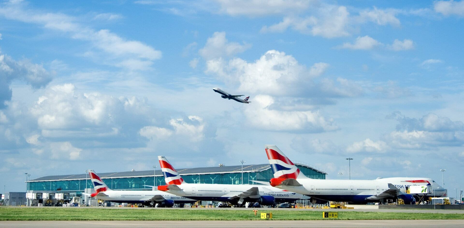
To begin with, the project has elevated the convenience quotient of Boston’s Logan International Airport by a factor of about ten. The airport is located just across the harbor in East Boston, only about three miles as the crow flies from downtown. But in pre-Dig days, the taxi ride could be expensive and fraught with delays.
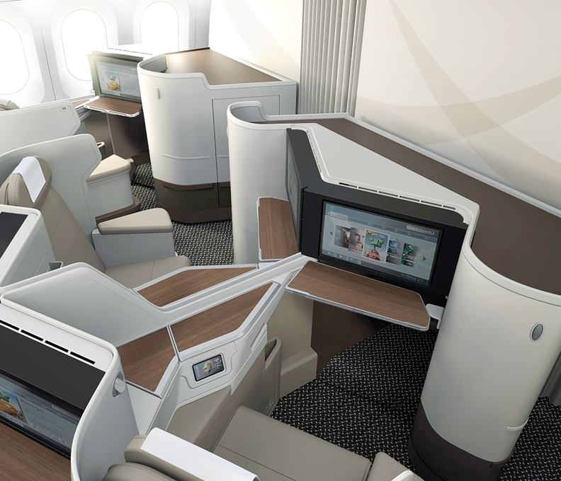
Now with three tunnels under the harbor, the trip to or from the airport either by car or subway is relatively speedy and hassle-free, making Logan one of the nation’s most convenient major airports to a large metropolitan downtown. This, along with billions spent on facility improvements, is boosting air connections across the country and all over the globe.
Boston has long been a focus city for JetBlue which operates some 200 flights daily. Delta is running something that looks like ‘hub lite’ with 83 peak-day departures, and the other legacy carriers connect to their networks from here as well. Altogether BOS reaches about 75 destinations in the US, but the real growth story has been international.
According to the Massachusetts Port Authority, during the past decade the number of international nonstop destinations from BOS has nearly doubled from 27 to 53. The lift is provided by some 30 international carriers, the most recent addition being Avianca’s service to Bogotá which launched in June. As a result, Massport unveiled a $30 million renovation to Logan’s international Terminal E, adding 95,000 square feet and reworking three gates to accommodate larger aircraft like the A380.
What the completion of the Big Dig and these upgrades and new services at close-in Logan have done is propel the Boston Harbor waterfront into a new era of development. The crown for this South Boston Waterfront District was the opening in June 2004 of the Boston Convention and Exhibition Center.
With more than half-a-million square feet of contiguous exhibit space, the BCEC is one of the newest and largest convention complexes in the US. A few blocks away on the waterfront, the Seaport World Trade Center offers 118,000 square feet of exhibition space.
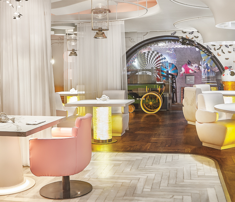
Although much older and smaller than the new harbor front venues, the Hynes Veterans Memorial Convention Center in the Back Bay area can also accommodate thousands of attendees. Plus it has the advantage of being convenient to hotels, shopping malls, and the city’s best concentration of fine dining.
More to Discover
Of course, nothing is very far from anything in Boston, unless you’re planning to drive there. The Big Dig notwithstanding, traffic is still generally horrible. Fortunately, the city’s compact layout means it’s walkable, or for greater distances you can take the convenient ‘T,’ Boston’s subway.
Should you find yourself at an event at the Hynes, you’re not far from Huntington Avenue, Boston’s ‘Avenue of the Arts.’ It’s home to the Museum of Fine Arts with more than 450,000 works, including pieces from ancient Greece, Egypt and Asia, and paintings by European masters such as Monet, Rembrandt and Van Gogh.
The Hynes Center itself is located on Boylston Street. A walk up Boylston brings you to Copley Square, home to some of the city’s most historic buildings, such as Boston Public Library, and Trinity Church, a striking Romanesque structure built in 1877. Across from the church is the John Hancock Tower, at 60 stories Boston’s tallest skyscraper built in 1976.
Farther up Boylston is the Boston Public Garden, established in 1837 as the first public botanical garden in the US. On the other side of the garden and across Charles Street is the Boston Common. The street marks the intersection between new and old Boston, where the Back Bay landfill stops and the original Shawmut peninsula begins. The public garden used to be marshland, but the 50-acre Common dates back to 1634.
At the northeast corner of the common you’ll see the golden dome of the Massachusetts State House. This part of the common is also near the beginning of the Freedom Trail. The two and a half-mile hike takes you from Boston Common to the Bunker Hill Monument, with a side excursion to the USS Constitution, ‘Old Ironside.’
The trail is marked in red, often red brick, and is dotted with markers explaining 17 sites important to the early history of the United States. How much of the trail you choose to follow will depend on your time and interest, but it’s a good route to follow to Faneuil Hall, the 11th stop.
This historic spot was built as a marketplace and meeting hall in 1742 and was the site of key speeches by patriots such as Samuel Adams whose statue stands on the Congress Street side. That’s where some of the daily Freedom Trail walking tours originate ($12 for adults, thefreedomtrail.org) – others depart from the Boston Common Visitor Information Center on Tremont Street.
Today Faneuil Hall, along with Quincy Market next door, caters more to the tourist trade. This cluster of restored market buildings – bounded by the Waterfront, the North End, Government Center, and State Street – is the city’s most popular attraction.
For something a little more evocative, a few steps away is Union Street. Laid out in 1636, this short street was once close to the waterfront. It’s home to several excellent bars and restaurants, but for a real taste of history, the Union Oyster House (41 Union St, unionoysterhouse.com) which opened in 1826, stands out as the oldest continuously operating restaurant in America.
Like the rest of Boston, this is a street cloaked in history, but it wears the cloak lightly as it shoulders its way into the future.
By Dan Booth